

Our Business
SERVICE
01
Learn More
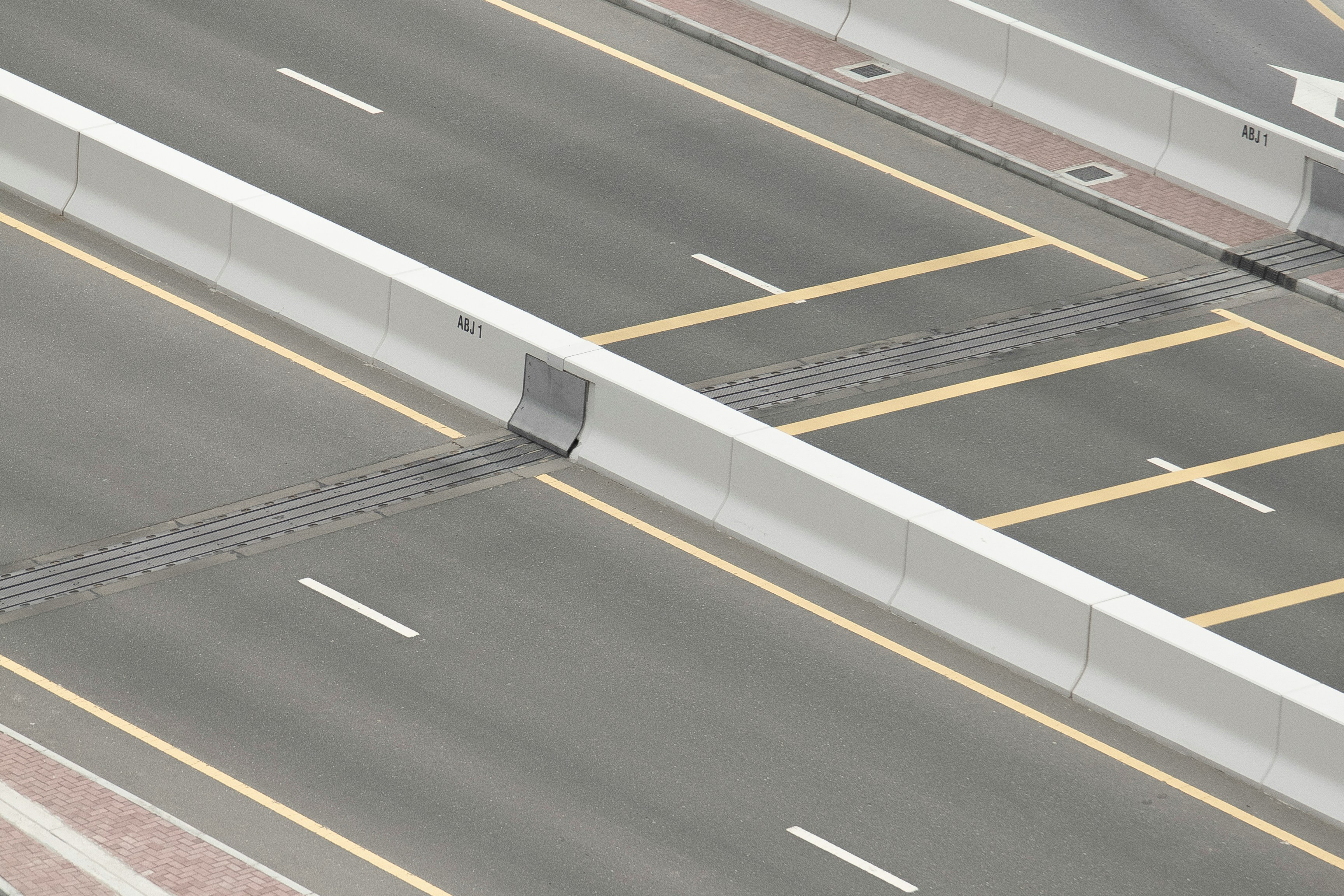
Road Management
GLOCAL-EYEZ is an AI-powered solution that enables
high-precision road and infrastructure analysis
using a single smartphone.
02
Railway Management
We develop in-house products that support railway operations,
build application platforms for railway operators to meet diverse needs,
and provide consistent support from identifying business challenges to implementation.
03
DIGITAL TRANSFORMATION
DIGITAL TRANSFORMATION
FOR SOCIAL INFRASTRUCTURE
Leveraging our deep expertise in civil engineering from road and railway projects,
we provide end-to-end support—from problem identification to AI development,
system architecture, and application deployment.
We transform field data into "actionable assets" to create new value on-site.
we provide end-to-end support—from problem identification to AI development,
system architecture, and application deployment.
We transform field data into "actionable assets" to create new value on-site.